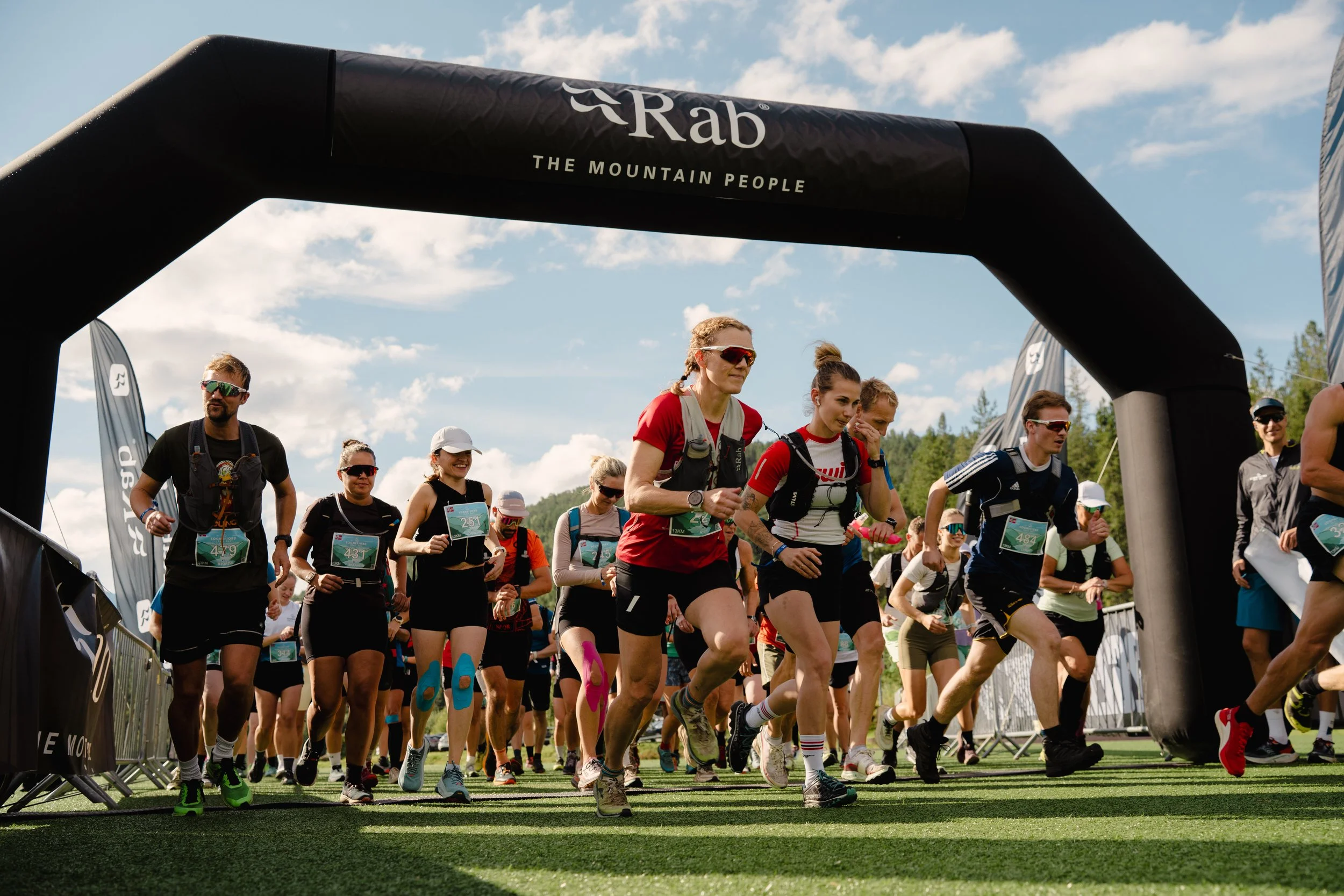
17K
Distance
Ca. 17 km
Elevation
Ca. 750 m
Surface
14 km trail, 2 km gravel, 500 m asphalt
Aid Station
Ca. 9 km
Start and finish
Kaupanger idrettspark
Start time
Saturday 06.06 - 12:00
STR 17K
The 17K route starts with an immediate climb toward Storehogen, gaining 400 meters of elevation before turning toward Bjørkastølen. This leads into a rewarding 3 km descent onto exotic pine needle flow trails near Kaupangsholtane. An Aid Station awaits at 9 km, offering fantastic fjord views towards the majestic Bleia mountain. After turning at Kaupangsholten, the course features a final short ascent before a long, fast descent to the finish line. A perfect punch of climbing, flow, and stunning scenery.
Fast, flow and fun – how fast can you run?
Download the GPX file or join the Strava Club to find out for yourself if got what it takes to complete the STR 17K 2026!


