


27K
Distance
Ca. 27 km
Elevation
Ca. 1300 m
Surface
15km trail, 8 km Gravel, 4 km asphalt
Aid Stations
After ca. 10 km and ca. 18 km
Start and finish
Kaupanger
UTMB Index

STR 27K
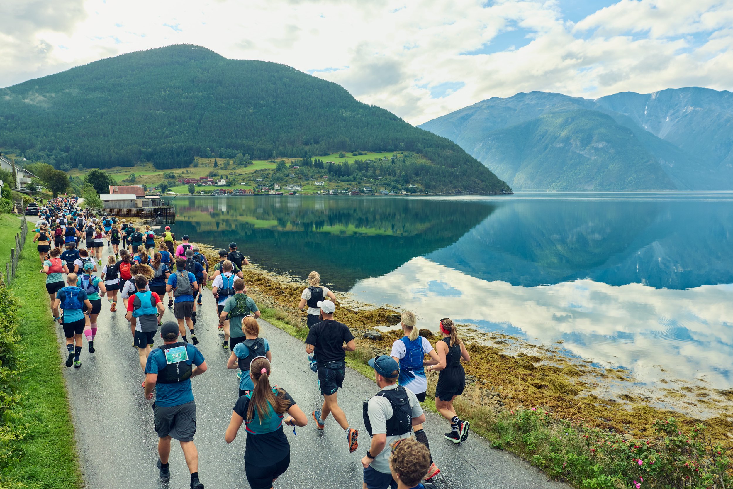
The STR 27K launches from Kaupanger idrettspark, descending 3 km via a mix of asphalt, gravel, and trail before a smooth section along the fjord. The course tackles the major climb up to Amlaholten (508 m.a.s.l.) , guiding runners through exotic pine needle trails and spectacular fjord views toward the highest point at Søre Gråbrørne (737 m.a.s.l.). A subsequent climb to Svarthol leads into a 3 km fast flow section on gravel. The journey concludes with a final steep descent and a thrilling 1 km sprint to the finish line in town. A perfect blend of varied terrain and spectacular Sognefjord nature.
Fast and flow by the fjords – Are you ready for the 27K?
Join the Strava group to find out for yourself if you got what it takes to complete the STR 27K 2027!